Lake effect snow is a meteorological phenomenon that occurs primarily near large freshwater lakes, particularly the Great Lakes region in North America. Unlike typical snowstorms, lake effect snow develops in narrow, intense bands that can produce heavy snowfall over localized areas, often resulting in rapid accumulation and hazardous driving conditions. When conditions are forecasted to create dangerous amounts of snow, weather agencies issue a Lake Effect Snow Warning, signaling the public to prepare for significant disruptions. Understanding this phenomenon, the factors that contribute to its development, and proper safety measures is critical for residents, travelers, and authorities in affected regions.
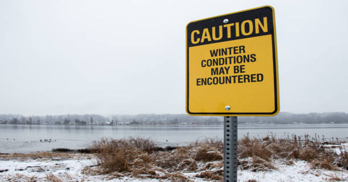
Lake effect snow warnings are issued when snowfalls are expected to accumulate to levels that pose risks to property, transportation, and personal safety. These warnings differ from general winter weather advisories or watches, as they are highly localized and can vary dramatically over short distances. For instance, one town might experience several inches of snow while a nearby area remains relatively clear. The unpredictability and intensity of lake effect snow make these warnings particularly important for early planning and emergency preparedness.
1. What Is Lake Effect Snow?
Lake effect snow is formed when cold, dry air passes over a relatively warmer lake surface. As the air moves over the water, it absorbs moisture and heat, becoming unstable. This instability causes the air to rise, cool, and condense, forming clouds that produce snow. Because this process often occurs over a short distance and under specific wind directions, the snowfall can be highly concentrated, leading to intense snow bands.
Unlike large-scale winter storms, which cover extensive regions, lake effect snow is narrow and localized. This characteristic makes it more unpredictable, as minor changes in wind direction, lake temperature, or air mass stability can shift the location of heavy snowfall dramatically. Residents in affected areas often report extreme variations in snow depth over just a few miles, making preparation challenging.
2. Conditions Necessary for Lake Effect Snow
Several meteorological and environmental conditions must align for lake effect snow to develop effectively:
- Cold Air Mass – Typically, the air must be significantly colder than the lake water, creating a temperature differential of at least 13°C (23°F) to generate instability.
- Open Water Surface – The lake should be largely free of ice. Ice cover reduces heat and moisture transfer, limiting snow production.
- Wind Direction and Speed – Consistent winds aligned along the lake’s longest axis help generate narrow, intense snow bands.
- Fetch Distance – The length of open water the air travels over (fetch) must be sufficient for it to absorb moisture.
- Atmospheric Instability – The temperature of the air aloft relative to the surface must support convection and cloud formation.
| Factor | Importance | Effect on Snowfall |
|---|---|---|
| Temperature Difference | High | Greater instability leads to heavier snow |
| Lake Ice Coverage | Critical | Ice reduces snow intensity |
| Wind Direction | High | Determines location of snow bands |
| Fetch Distance | Medium | Longer fetch increases snowfall accumulation |
| Atmospheric Instability | High | Strong instability produces more intense snow |
When all these conditions converge, lake effect snow can produce intense snowfall rates of 2–4 inches per hour, creating hazardous conditions for roads, infrastructure, and communities.
3. How Lake Effect Snow Warnings Work
A Lake Effect Snow Warning is issued by the National Weather Service (NWS) or regional meteorological agencies when forecasters anticipate dangerous snowfall from lake effect snow. These warnings indicate that accumulations are expected to be high enough to pose threats to life and property.
Warnings are typically issued when:
- Snow accumulation exceeds 6 inches in 12 hours or 8 inches in 24 hours, though thresholds vary by region.
- Heavy snow is expected to cause dangerous travel conditions, including reduced visibility and slippery roads.
- Local infrastructure, such as schools, transit, or utilities, may be impacted.
Warnings provide critical lead time for residents to adjust travel plans, stock up on essentials, and ensure safety measures such as clearing driveways and checking heating systems. They are often accompanied by road condition advisories, school closures, and emergency management alerts.
4. Geographic Regions Most Affected
Lake effect snow is most commonly observed in regions downwind of large freshwater lakes. In the United States, the Great Lakes region is the most notorious for this phenomenon, but other large lakes globally can produce similar conditions under the right meteorological circumstances.
| Lake | Affected Areas | Snowfall Characteristics |
|---|---|---|
| Lake Superior | Upper Michigan, Wisconsin, Minnesota | Extremely heavy, narrow snow bands |
| Lake Michigan | Western Michigan, Chicago suburbs | Intense localized snowfall |
| Lake Erie | Cleveland, Buffalo | Shorter, sharper snow bursts |
| Lake Ontario | Rochester, Niagara Falls | Moderate but frequent accumulation |
| Lake Huron | Michigan Thumb region | Variable, dependent on wind alignment |
Even within the same city or county, snow depth can vary drastically due to localized snow bands. This variability is why lake effect snow warnings are often issued for very specific areas rather than entire states.
5. Impacts of Lake Effect Snow
The impacts of lake effect snow extend beyond mere accumulation. Due to its sudden onset and intensity, this phenomenon can affect transportation, public safety, infrastructure, and local economies.
5.1 Transportation
- Roads can become impassable quickly due to high snowfall rates.
- Visibility can drop to near zero during snow bands.
- Airports may experience delays or cancellations.
- Rail and public transit operations can be disrupted.
5.2 Infrastructure
- Snow accumulation on roofs and power lines can cause structural damage or outages.
- Emergency services may have difficulty reaching affected areas.
- Urban areas may face rapid congestion if snow removal is delayed.
5.3 Economy and Daily Life
- School and business closures are common during warnings.
- Grocery and fuel supplies may be affected if roads are blocked.
- Commuters face heightened risks of accidents.
| Impact Category | Examples | Mitigation Measures |
|---|---|---|
| Transportation | Icy roads, airport delays | Road salting, plowing, travel advisories |
| Infrastructure | Power line stress, roof collapse | Preventive snow removal, emergency plans |
| Public Safety | Traffic accidents, slips and falls | Safety campaigns, warning alerts |
| Economy | Business closures | Remote work, emergency supply planning |
The localized intensity of lake effect snow can make impacts highly variable even within small geographic regions, which underscores the importance of heeding warnings and preparing early.
6. Safety Measures During a Lake Effect Snow Warning
Safety is paramount during lake effect snow events. Residents, travelers, and authorities must take proactive steps to reduce risks.
6.1 For Residents
- Stay indoors if possible during heavy snowfall.
- Stock up on essential supplies such as food, water, and medications.
- Keep flashlights, batteries, and emergency heating sources ready.
- Avoid overexertion when shoveling snow to prevent injury or heart strain.
6.2 For Drivers
- Avoid travel if a warning is in effect.
- If driving is necessary, keep emergency kits in the vehicle.
- Reduce speed and increase following distance.
- Use snow tires or chains when required.
6.3 For Local Authorities
- Deploy snowplows and salt trucks proactively.
- Issue clear communication through radio, television, and social media.
- Prepare emergency shelters for stranded residents or vulnerable populations.
| Audience | Recommended Safety Action |
|---|---|
| Residents | Stay indoors, stock supplies, prepare emergency kits |
| Drivers | Avoid unnecessary travel, equip vehicles with snow gear |
| Authorities | Pre-position plows, communicate warnings, establish shelters |
Adhering to these measures can significantly reduce injuries, accidents, and property damage during lake effect snow events.
7. Forecasting Lake Effect Snow
Forecasting lake effect snow is challenging due to its highly localized nature. Meteorologists rely on several tools and models to issue warnings accurately:
- Satellite and Radar Data – Track cloud formation and precipitation bands over lakes.
- Temperature Differentials – Identify air-lake contrasts conducive to instability.
- Wind Models – Predict wind direction, speed, and fetch over the lake surface.
- Snowfall Accumulation Models – Estimate expected snow totals in affected regions.
- Historical Data – Compare patterns from previous lake effect snow events.
Despite these tools, slight changes in wind direction or temperature can dramatically shift snowfall locations, which is why warnings are often short-term and highly specific.
8. Challenges and Misconceptions
Lake effect snow warnings can sometimes cause confusion among the public due to misunderstandings:
- Localized Nature – People outside the snow band may not experience heavy snowfall, leading to complacency.
- Sudden Onset – Heavy snow can develop in hours, giving little preparation time.
- Accumulation Estimates – Predictions are averages; actual snowfall can be significantly more or less in specific areas.
Educating communities about these characteristics is critical for preventing injuries and ensuring effective response.
9. Case Studies and Historical Examples
Historically, lake effect snow has produced record-breaking events:
- Buffalo, New York (2014) – Over 7 feet of snow in one week, causing widespread road closures.
- Upper Peninsula, Michigan (2018) – Isolated bands dropped 2–3 feet in just a few hours.
- Western New York (2019) – Localized bands caused snowdrifts over 10 feet in some areas, highlighting the variability of this phenomenon.
These examples illustrate both the intensity and unpredictability of lake effect snow, reinforcing the importance of early warnings and preparation.
10. Conclusion
A Lake Effect Snow Warning is not just a meteorological notice; it is a vital tool for public safety and preparedness. By understanding the mechanisms behind lake effect snow, the conditions required for its formation, the potential impacts, and proper safety measures, individuals and authorities can mitigate risks effectively. The highly localized nature, rapid onset, and potential severity of lake effect snow necessitate vigilance, early preparation, and careful monitoring of weather updates. With responsible planning, adherence to safety protocols, and community awareness, the hazards of lake effect snow can be minimized, ensuring both life and property remain protected during these intense winter events.
FAQs
1. What is a lake effect snow warning?
It is a weather warning issued when intense, localized snow from lakes is expected to pose hazards.
2. How is lake effect snow different from normal snowstorms?
Lake effect snow is highly localized, narrow, and intense, unlike broad winter storms covering large areas.
3. Which areas are most affected?
Regions downwind of large lakes, particularly the Great Lakes, including parts of Michigan, New York, and Ohio.
4. How can residents stay safe during a warning?
Stay indoors, stock essentials, avoid travel, and follow local authorities’ guidance.
5. Can lake effect snow warnings change quickly?
Yes, these warnings are often short-term due to the localized and variable nature of snowfall.